Geoscience
TOPOGRAPHIC SURVEYS
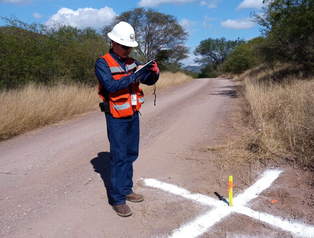
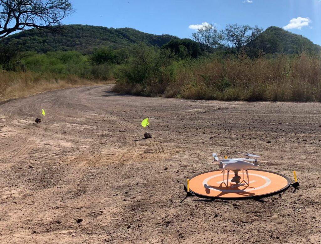
Our team has developed topographic surveys using the most innovative technologies through photogrammetry and topography with the use of photographs taken by a drone flight establishing ground control points. The drone flies over the area of interest at a constant height and speed describing a series of paths previously drawn and hence an image processing software (photogrammetry process) is used. The accuracy and quantity of information obtained in a topographic survey is essential as prior knowledge before starting a project. Typographic surveys with drones make it possible to obtain much more detailed, more precise and better-quality digital terrain models than traditional techniques. In addition, drone surveying offers the possibility of generating 3D representations.